The Ordnance Survey – Tourist Maps (combining multiple sheets)
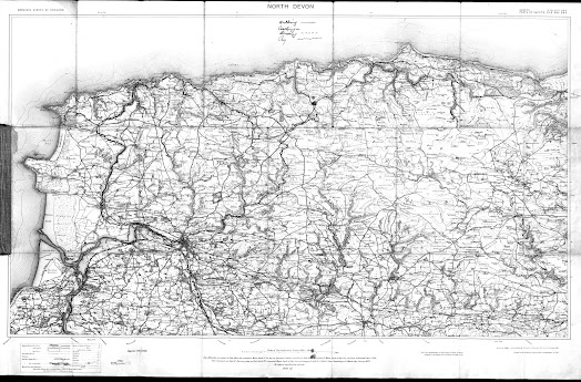
OS 4 – North DevonSize: 460 x 775 mm. Scale of One Inch to One Statute Mile (8F + 4 = 125 mm) Miles.
NORTH DEVON (CaOS). Above map are: ORDNANCE SURVEY OF
OS sheets 276, 277
and 293 (complete) with parts of 278, 292 and 294 printed as one sheet to form
a map of North Devon. Scale of 1 inch to mile.
Compass with magnetic deviation in margin (EdOS) (printed red waterproof covers with OS crest and reference to sheet numbers).
1. 1901 Ordnance Survey. North Devon.
1. 1901 Ordnance Survey. North Devon.


No comments:
Post a Comment