Posts

Showing posts with the label Plymouth Devonport and Stonehouse
Image
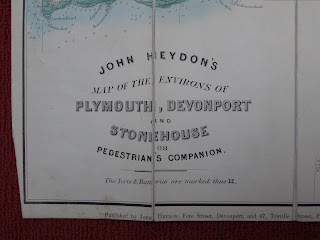
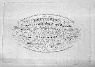
  Edward Nettleton   Edward Nettleton was a bookseller, printer and publisher in Whimple Street, Plymouth. Besides publishing an early edition of Henry Woolcombe´s famous guide, The Tourist's Companion to the most interesting objects … of   Plymouth,Devonport and Stonehouse .... in 1828, i n 1836 he   printed and published a guide to Plymouth etc. written especially for him by George Wightwick , an architect. Nettleton's Guide to Plymouth, Stonehouse, Devonport and to the Neighbouring Country   contained three maps as well as other engravings and plans. Two of the three maps were very close copies of those that had already appeared in previous works, The Tourist's Companion ; Being a Guide to Devonport, Stoke, Morice-Town Stonehouse, and Plymouth, by John Sandford; and from A View Of Plymouth-Dock, Plymouth and the adjacent country published by A Granville & Son in 1812. Nettleton flourished certainly between 1801 ( Zion’s Pilgrim ) and 1847 ( Trout Fli...
Image
W H Foster & Co. W H Foster and George Sellick distributed a map of Plymouth at the same time. As Foster's map has the legend " Lithographed and Published " it has been assumed that he originally published the map (in covers) and that George Sellick was able to purchase copies from him. These were adorned with adverts on the reverse especially for him. Sellick produced an album of views of Plymouth c.1890. The views are photo-lithographic views on one long concertina pull-out. There were 24 views (one double page, several two to a page) on 18 pages. A Tips for Tourists page was pasted in, and stuck onto the back cover was the large folding map. The map, as Foster's, is dated 1890 and, in addition, two adverts on the reverse of the map mention dates of 1889 and 1890. According to the Sellick company website, Sellicks was established in 1840. It was originally owned by the Sellick family and traded mainly as a retail stationer and bookseller. When the last of the S...
Image
John Cary -   John Heydon   The first local publisher to issue a map derived from Cary's Improved Map was John Heydon   in his Map of the Environs of Plymouth, Devonport and Stonehouse or Pedestrian’s Companion . The map shows almost 90% of sheet 2 of Cary’s map. This version would seem to pre-date both the Seeley map of Torquay and the A H Swiss   derivatives by a number of years from evidence of the railway network but the area covered is, in fact, very similar to that included in the Swiss map, A H Swiss' No. I Hunting Map. The Plymouth District. John Heydon published two further maps of Plymouth for tourists ( c.f. ) and one of the first county maps of Devonshire based on the Improved Map plates was also published by Heydon (see B&B 150 ). The county map [1] first appeared circa 1872 and also carried a note about forts and batteries (see below).     Size: 460 x 575 mm.                      ...
Image
A & C  Black 7 - Railways   Black's Picturesque Guide   first appeared in 1843 and, like all other A & C Black   guide books, was republished regularly. The first edition contained a map of England and Wales; by 1845 there were 10 maps, by 1848 there were 14 and by 1855 a total of 25 maps were being issued. The first editions were not numbered, but by 1855 adverts within the volume were advertising the 3 rd edition. The editions from 1878 had 54 maps when the title was also changed. The map below has the signatures of Schenck and M’Farlane   but these were soon removed and the signature of John Bartholomew is found on most maps used by the Blacks. Friedrich Schenck   was born in Offenbach, Germany, in 1811 (full name Emil Ernst Friedrich Theodor Schenck) and died in Edinburgh in 1885. He trained as lithographer and artist in Munich and Paris. In 1840 he moved to Edinburgh at the invitation of Samuel Leith   and proceeded to give talks on litho...
Image
A & C  Black 4  - Plymouth, Devonport & Stonehouse Size: 145 x 240 mm.   Scale of Yards (1000 = 35 mm).   PLYMOUTH, DEVONPORT & STONEHOUSE. Imprint: Published by A & C Black, Edinburgh . Engraver's signature : Drawn & Engraved by J. Bartholomew Edin r F.R.G.S. (AeOS); and printer's signature Printed by W H M c Farlane, Edin r (EeOS). Area shown is from Torpoint to The Laira, and Keyham Ho. (Ba) and Ford Park Gardens (Da).  1. 1862   Black’s Guide To The South-Western Counties .. . Dorsetshire, Devon, And Cornwall               Edinburgh. Adam and Charles Black.  1862.                      Black’s Guide To The South-Western Counties .. . Dorsetshire, Devon, And Cornwall                Edinburgh. Adam and Charles Black. 1862, 1862 (1863).    ...