Posts

Showing posts from August, 2023
Image
  THOMAS TEDRAKE   Thomas Tedrake of Bideford produced a small pocket guide in 1894. This was printed and published by the Western Express Office. Thomas Tedrake was a printer and publisher with premises at 40 Mill Street. He published both the Western Express (published every Tuesday and Saturday) and the Torrington Chronicle. It would appear that there was no little rivalry between him and Crosbie Coles (c.f.), as two guides to Bideford appeared almost simultaneously. Tedrake resurrected the Western Express (it was started in the 1860s) and published it together with the Torrington Chronicle from the mid-1880s into the first decade of the twentieth century. About 1908 his wife died and he became ill. Tedrake found buyers who took over the printing of the newspapers and were to pay for the business in instalments. The payments ceased and Tedrake was forced to take repossession only to find ther business was virtually bankrupt. He endeavoured to find a new buyer and thought he wa
Image
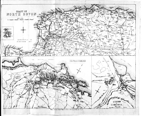
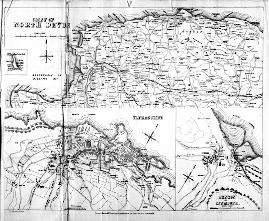
    WILLIAM STEWART For Stewart´s map 1 executed by Charles King  click here . For Stewart´s map 2 executed by Halfyard  see below . Stewart 2 (Halfyard) William Stewart had had a map produced, originally lithographed by Charles King of Exeter, for his own reprints of The North Devon Handbook (see Banfield and especially Stewart 1) which appeared in a number of guides between 1872 and 1878. However, shortly before, or immediately after, his business was taken over by Milligan a new plate was engraved. This second map was lithographed by the company of F J Halfyard, of Exeter. Copies of the Fourth Edition of the North Devon Handbook (under Stewart’s imprint) have been seen with either the earlier or the later map. Either Stewart needed new map sheets but did not possess the original plates (or they had become damaged or worn); or Milligan acquired ready-printed copies of the North Devon Handbook which lacked the map and had to have a new map printed before selling the surplus Stewart
Image
  WILLIAM STEWART William Stewart took over John Banfield‘s business ( c.f .) and library circa 1872 and began to issue the same guide books as Banfield based on the work of Tugwell. Although Banfield had already used a map of the North Coast of Devon, Stewart had a new map made including plans of both Ilfracombe and of Lynton with Lynmouth. This was lithographed by Charles King of Exeter. Stewart’s map may well have been based on the similar map by Besley which was first published at about the same time as King also lithographed Besley's map (see Besley 7). This map was replaced by an identical map c. 1878 (see next entry). For Stewart´s map 1 executed by Charles King see below. For Stewart´s map 2 executed by Halfyard click here . Stewart 1 Size : 305 x 385 mm (total). SCALE OF MILES (10 = 75 mm). Three maps on one sheet: COAST OF NORTH DEVON (scale as above). There are town maps of ILFRACOMBE (155 x 260
Image
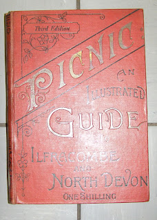
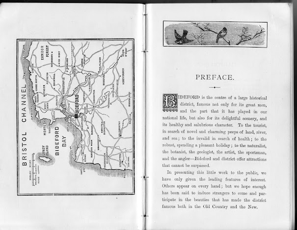
  E SMITH The Picnic guide to Ilfracombe and neighbourhood was published in the late 1880s by E Smith & Co. of Bristol with a text attributed to W H Turner of Bristol. A second edition, Picnic: an illustrated guide to Ilfracombe and North Devon , (dated 1890) has been seen with no maps, but the third edition has a total of three maps. In addition to the two maps described below, a further map – Map of the Bristol Channel - was included [1] . Smith, E 1a Size : 380 x 500 mm. No scale . MAP OF Ilfracombe SHOWING ROADS, STREETS, TERRACES, CHURCHES, HOTELS, VILLAS ETC. (De in rectangle). Imprint: [PUBLISHED WITH “PICNIC GUIDE” BY E SMITH & Co, BRISTOL] (EeOS) and REGISTERED (AeOS). Description: Stretches from Holy Trinity Church (Ae) to the Promenade Pier (Ea). Water areas coloured light green as is title panel. Smith, E 1b Size : 175 x 475 mm.