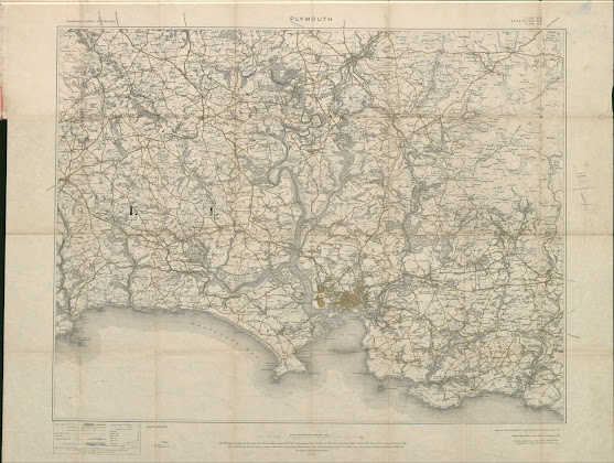
The Ordnance Survey – Tourist Maps (combining multiple sheets)
OS 2 – Plymouth
Size: 505 x 640 mm. Scale of One Inch to One Statute Mile (8F + 4 = 125 mm) Miles.
PLYMOUTH (CaOS). Above the
map are: ORDNANCE SURVEY OF ENGLAND
(AaOS) and SHEETS 337. 338. / 348. 349. / 354. 355. (EaOS) with
signature: Revised in 1894 and Published
by Colonel D A Johnston, R E Director General. 1899 (EeOS). There is a second
line: Printed at the Ordnance Survey
Office, Southampton in 1899 (also EeOS). Reprint 300 / 1900 (AeOS).
Parts of OS sheets 337, 338, 348, 349, 354, 355 printed as one sheet to form a map of the area surrounding Plymouth. Scale of 1 inch to mile. Compass with magnetic deviation in margin (EdOS). Area is from East and West Looe to Kingston and mouth of Erme and inland to Tavistock. Scale 1 Inch to a Mile (printed red waterproof covers with OS crest and reference to sheet numbers)
1. 1899 Ordnance Survey. Plymouth.Southampton: Ordnance Survey Office.. 1899 (1900). KB, [BL].


No comments:
Post a Comment