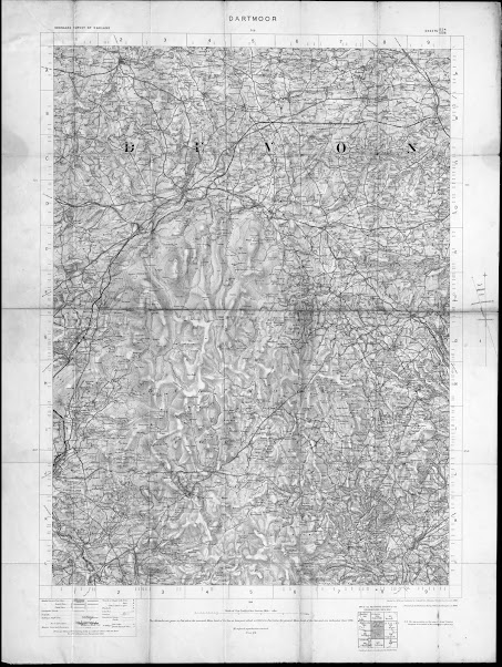
The Ordnance Survey – Tourist Maps (combining multiple sheets)
OS 3
– Dartmoor
Size: 635 x 485 mm. Scale of One Inch to One Statute Mile (8F
+ 4 = 125 mm) Miles.
DARTMOOR (CaOS) with signature: Revised
in 1896 and Published by Colonel D A Johnston, R E Director General. 1900 (EeOS).
Second line: Printed at the Ordnance Survey
Office, Southampton in 1900 (also EeOS). Above
map are: ORDNANCE SURVEY OF ENGLAND
(AaOS) and SHEETS 324 / 328 (EaOS).
OS sheets 324 and
338 (complete) printed as one sheet to form a map of Dartmoor.
Scale of 1 inch to mile. Compass with magnetic
deviation in margin (EdOS).Small illustration below map of adjoining sheets.
Area covered from Hatherleigh and Zeal Monochorum in the north to
Harrowbeer and Ashburton in the south in (plain red waterproof covers with paper label).
1. 1900 Ordnance Survey. Dartmoor.
1 Inch to a Mile
Southampton: Ordnance Survey Office. 1900. KB.


No comments:
Post a Comment