Contents
The Tourist Maps of
Devon
Guide Book and
Folding Maps 1810 - 1901
Foreword (see below)
Preface (see below)
Acknowledgements (see below)
Click the heading to access the appropriate section (in blue). Click The Tourist Books of Devon to access the catalogue of maps so far uploaded.
Introduction - The Guide Book
Devon Guide Books
Centres of Production - London
Centres of Production - Edinburgh
Centres of Production - Plymouth
Centres of Production - Ilfracombe
Centres of Production - Exeter
Centres of Production - Teignmouth and Torquay
The Tourist Maps of Devon - the catalogue - START HERE
Appendix I: Catalogue of Maps listed by Alphabetical Order of Area shown
Appendix II: County Maps used in Guide Books or issued as Folding Maps
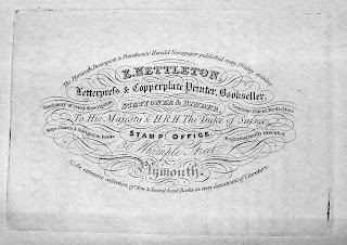
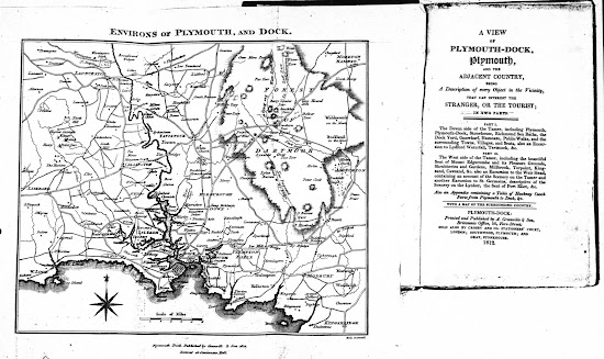
Illustration from Nettleton's Guide to Plymouth (see Nettleton)
Foreword
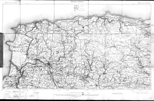
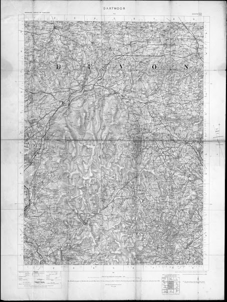
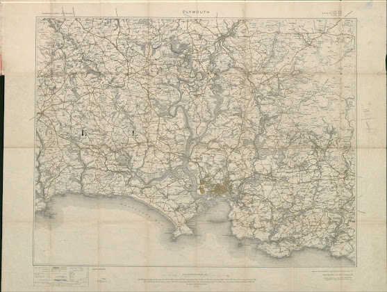
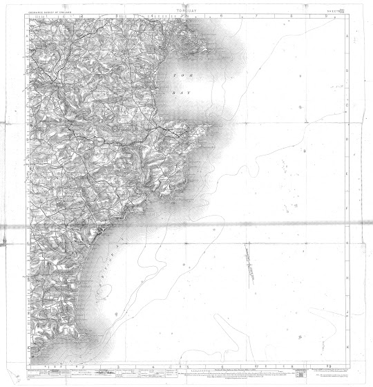
The present work is an attempt to identify every map which was published with the potential tourist in mind before 1901 but excluding county maps. You will find a description of every folding map which has been discovered which can be construed as a tourist map. A full catalogue is given at the end (Appendix I) listed by town or area as given in the map title or shown on a map where no title was included. As I would like this to be as full a listing as posible, I hope that visitors will add to the information as they come across new maps or new variations in their own researches.
The intened omissions in this respect will only be those maps which were full representations of the county: these can still be found in the Appendix II at the end of this blog site together with a reference to the map in either The Printed Maps of Devon, or more likely, The Victorian Maps of Devon, both published by Kit Batten and Francis Bennett in 1996 and 2000 respectively.
A number of maps
published for tourists had their origins in maps already published within
atlases, e.g. those of Bacon, Cary or Bartholomew. For this reason there are a
number of atlas maps included with information on their subsequent history as
tourist maps. The first Ordnance Survey of the county was carried out prior to
1809 when the sheets covering Devon were published. During the later 1800s
further surveying led to revised sheets being issued. The work of the OS is
beyond the scope of this work, but maps specifically published with the tourist
industry in mind have been included.
Last, and not
least, this work was an early attempt to catalogue my own collection. Consequently,
I have taken one or two liberties in my choice of maps to include. I became
very interested in the work of John Cooke at an early stage and although some
of his work cannot be considered as tourist material I have decided to include
all his output executed during his life in Devonshire. I believe he was an
important publisher as well as engraver and his work should receive more
recognition.
Kit Batten
Stuttgart, December 2020
Preface
Devonshire
is probably the English county which has been most intensely examined in terms
of its mapping history. Margery Rowe and Mary Ravenhill have done an enormous
amount of work on the manuscript maps. They have catalogued, and continue to
catalogue, the wealth of manuscript material which has been discovered and
which continues to turn up. Roger Kain has provided an atlas of tithe mapping.
Elisabeth Stewart published a concise work on Plymouth maps and charts, both
manuscript and printed. As far as printed material is concerned the Printed Maps of Devonshire 1575 - 1837
appeared in 1996 and the continuation The
Victorian Maps of Devon 1838 – 1901 was published in 2000 by Kit Batten and
Francis Bennett. In addition Francis Bennett has privately published two books
on road maps, both of which go into some detail on Devon history of road
mapping. This present volume attempts to catalogue the wealth of map material
contained in the guide books or published as folding maps for tourists during
the nineteenth century and until the death of Queen Victoria in 1901.
Queen
Victoria ruled from 1838, coinciding both with the evolution of the railway
(especially in Devon) and the rise in tourism. However, if I had chosen this
period I would have missed a number of interesting guides published before this
time. In the present volume I have attempted to
follow the progress of the map as a tool for the tourist, and hence its
inclusion in guide books and, with it, the publishing of those folding maps which
would have been designed primarily for tourists.
The first guide I have found with a map was published
by John Wallis of Sidmouth in 1810 and in the 91 years covered in this present
volume I have identified almost 250 separate plates, listed over 400 states and referenced nearly 600 sources of guide books and maps. I hope I will be
forgiven for the quality of some of the illustrations. The images here have
been collected over the years and some have been scanned from photocopies or
maps have been photographed in situ (to help protect the original guide book).
The aim was to help researchers, collectors and the occasional dealer to assign
a particular (loose) map to a guide or to gain an idea of exactly how many maps
might be extant of a particular area. The reader will find over 330
illustrations within these pages, of which more than one third are in colour.
I
would once again like to take this opportunity to thank all those without whose
help this cartobibliography could not have been completed: firstly those
individuals who have so generously given me access to their collections or who
have, so often, resolved difficult problems. Thanks above all to the Exeter
Westcountry Studies Library and all the staff; to the librarians and curators
who have helped me examine their collections or answered my queries; to the
late Eugene Burden and to Tony Burgess for access to their collections and many
letters; and finally great thanks are due to the late Francis Bennett whose, friendship, encouragement and help kept me
going.
In
the course of my research I may have omitted something, overlooked a source or
falsely interpreted my notes. I apologise for any errors and welcome
correspondence from fellow enthusiasts and collectors.
Acknowledgements


